ONLINE MAPPING AND AERIAL PHOTOGRAPHY
South Northants District Council has kindly supplied a link to its resource of Geographical Information Systems online mapping and aerial photography. This is particularly useful in order to bring on to the computer screen any part of the village in detail and then add planning information and/or aerial photographs taken in the summer of 2005.
If you wish to go straight to this link click here. However, it may be found useful to read the following first:
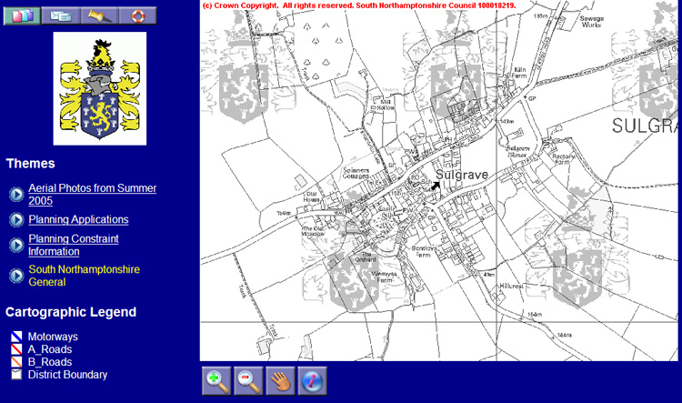
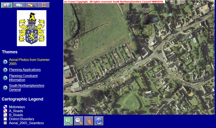
The information is complex and detailed and even those with Broadband will find that patience is necessary whilst the images are downloading. Having clicked on the link the first image to be seen will be:
Once this image is on your screen, click on the green “plus” sign, place the cursor arrow over the part of the village of interest to you and click again. In the following example the cursor arrow was placed over the village shop:
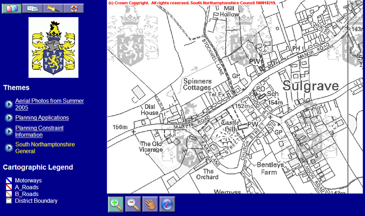
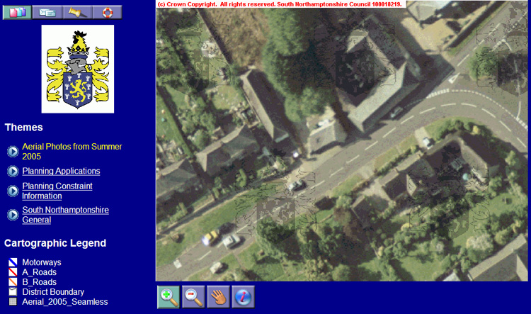
Again placing the cursor arrow over the village shop and clicking once gives the following magnification:
This is a useful scale at which to begin accessing the information available under “Themes” on the left hand side of the screen. For example, clicking on “Planning Constraint Information" will produce the following effect:
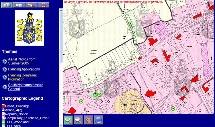
Useful information now includes:
The extent of the Conservation Area (pink area)
The Village Confines boundary (thick brown line)
Listed Buildings (in red)
Tree Preservation Orders (green rings)
Click on the above to see a summary of the District Council’s current planning policy in respect of each.
Selecting “Planning Applications” is less useful since it simply shows which properties have been the subject of a planning application at one time or another, which is most of them! Click here for information on planning applications in the village. (In the "Online Planning Applications Register" enter "Sulgrave" against "Parish" and then click on "Submit Query" to obtain a list of planning applications in the village).
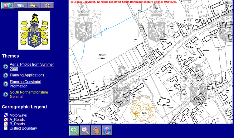
The overlay information can easily be removed by using your computer’s “go back one page” arrow. Now try clicking on “Aerial Photos from Summer 2005”. This takes some time to download but you will eventually see:
Magnification can be increased as before, by first clicking on the green “plus” sign and then clicking on the area of the map you are interested in. Again using the shop as an example, the following can be seen:
Zooming in beyond this point produces an image too blurred to be really useful.
For further online information from South Northants Council, click here.